
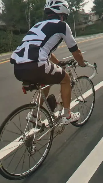
The Santa Ana River Trail is the car-free spine of Orange County riding: a paved path that follows the river from the coast at Huntington Beach inland to Yorba Linda and the county line. Designated a National Recreation Trail in 1977 (per OCTA), it links parks, stadium districts, and neighborhoods without asking you to take a lane on a boulevard. This guide covers what the public sources say about the route, how to ride it well, and how it connects to Veloaded Cyclery in Santa Ana.
It is not a mountain-bike trail and not a closed race course. You will share it with walkers, runners, e-bikes, and other cyclists. Courtesy is part of the ride.
Sources: OC Parks: Santa Ana River Trail map (PDF) · OCTA blog: Bike the Santa Ana River Trail · Orange County 4th District: Santa Ana River bike path
How long is it, and where does it go?
OC Parks materials describe about 29 miles of Santa Ana River Trail within Orange County, from Pacific Coast Highway in Huntington Beach to Yorba Linda. OCTA’s trail overview notes the same hills-to-beach idea: Pacific Coast Highway at the south end, the northern Orange County border at Yorba Linda, with access to parks, Angel Stadium, the Honda Center, and retail centers along the way. Longer regional plans talk about extending uninterrupted trail far beyond the county; those future miles are not a promise that every segment is finished today—check current maps before you plan a through-ride.
Sections of the river trail also feed into OCTA’s OC Loop vision (about 66 planned miles of connections; roughly 46 miles already on existing off-street trails along the San Gabriel River, Coyote Creek, Santa Ana River, and coastal trails, per OCTA).
Landmarks south to north (useful mental map)
- Pacific Coast Highway / Huntington State Beach area — coastal end of the OC segment; beach trails nearby for a different surface and wind.
- Fairview Park (Costa Mesa) — common access on the west side of central OC.
- Centennial Regional Park (Santa Ana) — listed rest context in county materials; useful midpoint thinking for Santa Ana riders.
- Angel Stadium and Honda Center (Anaheim) — easy to spot; expect more path traffic on event days.
- Yorba Linda / Yorba Regional Park area — inland end of the classic OC out-and-back.
Exact restroom and water availability changes with park hours and maintenance. Carry what you need; do not plan a long summer ride around a single fountain.
Riding from Veloaded Cyclery
Our shop is at 3420 W MacArthur Blvd Suite B, Santa Ana. The river and trail are just under a mile west of the door, where MacArthur Blvd becomes Talbert Ave at the Fountain Valley line. Many customers ride in for drop-off, then take the trail home south toward the beach or north toward Anaheim.
Directions and neighborhood notes: bike shop in Santa Ana. Nearby cities that feed the same path include Fountain Valley, Costa Mesa, Huntington Beach, Garden Grove, and Anaheim.
How to plan an out-and-back
- Pick a turnaround that matches your miles. From the MacArthur / Talbert area, south toward PCH is flatter coastal miles; north toward Anaheim and Yorba Linda adds inland distance and usually warmer air.
- Start early in summer. Inland segments heat up faster than the coast. Morning wind and evening onshore flow can also change how hard the return feels.
- Mind path etiquette. Announce passes, keep right when stopping, and slow near underpasses and blind corners where the path narrows.
- Watch surface hazards. Glass, sand blown onto the path, and expansion joints are the usual flats-and-pinch culprits—not rocks and roots.
- Have a bailout. Know which boulevard crossings get you to a shop, a train, or a pickup. Our MacArthur location is one intentional bailout for central OC.
Who the trail suits
- New road riders who want miles without freeway-adjacent arterials.
- High-mileage trainers stacking endurance without canyon traffic.
- Families and mixed groups on shorter segments near parks (still: helmets, predictable riding, and realistic distance).
- Commuters connecting parts of central county—though lighting, personal security, and path conditions still matter; ride within your judgment.
If you want hills after a trail warm-up, continue toward Santiago Canyon once you are inland (see the Santiago / Modjeska guide), or swing toward the Back Bay and PCH for coast scenery (PCH from Newport Beach, best OC road rides).
Bike setup that works on the river trail
- Tires. Everyday road or all-road tires are fine; inspect for glass often. Wider rubber adds comfort on path seams.
- Pressure. Slightly more compliance than a crit inflation can make long path miles kinder to hands and lower back.
- Lights. Underpasses and winter evenings get dim. A daylight-visible rear light helps in mixed traffic at crossings too.
- Drivetrain. Dust and grit collect. Wipe and lube more often than you would on pure coastal climbs alone.
- Brakes. You will not descend Modjeska on the path, but sudden stops for path users are common—pads still matter.
Before a long trail day or a race that uses path connectors, run the pre-ride and pre-race checklist. Soft shifting or a dry chain is a good reason for a tune-up rather than another 60-mile grind.
Safety and courtesy (non-negotiables)
- Ride predictably; pass with an audible heads-up.
- Slow near people, pets, and junctions.
- Do not treat the center of the path like a closed race lane when others are present.
- Carry ID, a spare tube or plug kit, and a charged phone.
- Check local notices for construction detours—flood-control and park projects can reroute segments.
Sources: OC Parks: Santa Ana River Trail map (PDF) · OCTA blog: Bike the Santa Ana River Trail · Orange County 4th District: Santa Ana River bike path
After the ride: shop stop
Flats from path glass, noisy chains from grit, and brake pads that suddenly feel tired after a mixed week are the jobs we see most from river-trail regulars. If something felt off, do not wait for the canyon weekend to find out.
Book a service or talk through your setup: veloaded.co/book/ or call (714) 760-4908. Veloaded Cyclery — 3420 W MacArthur Blvd Suite B, Santa Ana, CA 92704 — just east of the trail.
Quick answers
How long is the Santa Ana River Trail in Orange County?
OC Parks materials describe about 29 miles of trail in Orange County from Pacific Coast Highway in Huntington Beach to Yorba Linda.
Is the Santa Ana River Trail a National Recreation Trail?
Yes. OCTA notes it was designated a National Recreation Trail in 1977.
Can I ride to Veloaded Cyclery from the trail?
Yes. The trail runs just under a mile west of the shop at the MacArthur/Talbert crossing. Head east on MacArthur to 3420 W MacArthur Blvd Suite B.
Road and trail conditions change. Check closures before you ride, and ride within your limits.